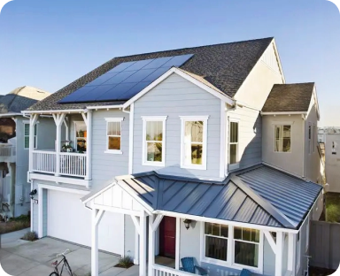
Google is not only taking over the world, but the universe too! They’ve figured out how to link the Sun to individual homes on earth through software and satellite imagery.
Many of us know Google as that go-to friend that can answer any question that may cross our mind at any given moment in time, as a personal secretary; managing e-mails and social schedule, and even serving as a personal shopper. It’s no surprise that Google will now play a big role in rooftop solar design.
EmPower Solar has been using Google Maps and Google Earth for years to assess potential client’s homes. Now, Google unveils their next chapter; Google Sunroof.
If not for Google Earth and other satellite imagery tools, the dynamic of solar design would be very different. Currently supporting the backbone of EmPower’s design process, satellite imagery offers the initial “first look” into a prospective client’s ability to move forward with a solar project. These images provide a 3 dimensional view of the infrastructure of a client’s home or business, as well as surrounding tree cover and neighboring buildings.
From here, solar designers and clients work together to determine solar viability. Key factors in determining this are:
– roof pitch and orientation
– shading from surrounding trees, buildings
– other roof and street obstructions (vents, HVAC units, etc.)
With ever-advancing tools found on Google Earth and other programs alike, we are able to determine a handful of these factors using the online precision and clarity found within a Google Earth search. Google’s high resolution imagery allows us to make fairly accurate estimates and in turn, provide clients with a detailed preliminary design and proposal without ever stepping foot on their roofs.
Google’s new pilot project, Sunroof, is still in the early phases of development and only active in San Francisco, Boston and Fresno at the moment. It is a tool designed to implement Google Maps and other factors such a local weather and sunlight/year data to create a formula that generates the amount of available roof space a home or business owner has for solar. From there, Google charges solar contractors to list their information and provide competitive estimates for the homeowner to analyze.
Just recently, a new Google Earth image shows the 35 kilowatt solar panel system on the roof of our Solar Design Center in Island Park.
With the advancement of drone technology, satellite imagery on Google and other platforms, will continue to gain more and more accuracy and clarity in our preliminary solar designs for clients, keeping all of us at EmPower excited for what’s in store!
Get an estimate for solar and claim your energy independence.

Get an estimate for solar and claim your energy independence.
About the Author
EmPower Solar develops, engineers, installs, and services solar and battery systems for residential and commercial clients. Since 2003, EmPower Solar has empowered thousands of New York homeowners and businesses with 47 megawatts of distributed solar. Its vision is to create a new energy paradigm powered by clean, renewable energy for a more prosperous, healthy, and civil world. The company culture is defined by the EmPowering Way, which results in consistent 5-star customer service reviews. For more information visit empower-solar.com.